News
New mapping technology to reduce bushfire risk in the Territory
New mapping technology developed by Charles Darwin University will help prevent, and limit the spread of bushfires in the Northern Territory.
The new technology will make high-resolution mapping of burnt areas available through the NAFI (Northern Australia Fire Information) app. This has been developed under the Northern Territory Risk Reduction Program which is jointly funded by the Commonwealth and Northern Territory Governments.
Minister for Emergency Management, Senator the Hon Bridget McKenzie said the Australian Government has provided $122,000 for the development of this user-friendly technology.
“The technology will allow our bushfire volunteers, landholders and community members access to high-resolution maps of areas burnt by bushfires,” Minister McKenzie said.
“If you’re a rural block owner, pastoralist, park manager, Indigenous Ranger, conservation scientist or member of the public, you can view maps of recent fire activity and burnt areas in high resolution and keep a constant eye on bushfire threats.”
Senator for the Northern Territory Dr Sam McMahon said the Australian Government has consistently funded the development of this service over a number of years. The data which is collected and stored has been critical in the proactive management of fuel reduction in the Northern Territory.
“Our land management practices – especially when it comes to fuel load and controlled burns are the standard the rest of Australia should follow,” Dr McMahon said.
Northern Territory Minister for Environment, the Hon Eva Lawler MLA said the app enables users on the fire ground to access the information they can use to rapidly assess where a fire might spread and where to direct critical resources.
“With the Top End fire season here, the Territory Government is making sure all landholders are prepared by lending a hand to those that need it most and working with other landholders to make sure fire loads are reduced to limit the risk to the community.
“This new mapping technology will assist our hardworking Bushfire NT staff and volunteers along with rural landholders to identify fires and assist in mitigation efforts.
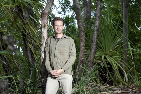
Charles Darwin University Fire Information Researcher Rohan Fisher said the maps are updated every few days and cover 21,000 square kilometres across Darwin, Coomalie, Wagait, Litchfield and Dundee.
“They plot fires more than 15 meters across, allowing detailed monitoring of ongoing blazes, prescribed burns and the assessment of fuel loads and wildfire risks," Mr Fisher said.
The fire mapping app is free and can be downloaded for Android and Apple devices by searching for ‘NAFI’. The app can also be accessed on the NAFI website: https://firenorth.org.au/nafi3
Related Articles
Shell yeah: PhD project gives critical insights into vulnerable species
A study into the foraging habits of green turtles in the Northern Territory has used an innovative surveying technique which could become a critical tool in monitoring marine habitats in remote and challenging environments.
Read more about Shell yeah: PhD project gives critical insights into vulnerable species
Location-specific solutions needed to manage heat in global climate crisis
Place-specific strategies for adapting to increasing temperatures are crucial to keeping remote towns and communities across Northern Australia habitable, according to a recent study on the future impacts of climate change-intensified heat on people in the geographic edges of Australia.
Read more about Location-specific solutions needed to manage heat in global climate crisis
New documentary captures mission to bring birthing back on Country
A new documentary shares the journey of Yolŋu mothers, grandmothers, leaders and health workers to bring birthing back on Country shines a bright, powerful light on First Nations maternity care and self-determination.
Read more about New documentary captures mission to bring birthing back on Country


